Laser Scanning Service
- Home
- Our Services
- Laser Scanning Service
Laser Scanning Service
Introduction
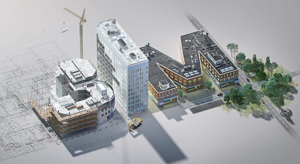
AMC Engineer delivers professional Laser Scanning services using Leica/Faro scanners to capture precise 3D point clouds of existing buildings/sites, enabling accurate As-Built models, clash-free renovations, and digital twins with millimeter accuracy.
Service Breakdown
- Reality Capture: High-density point clouds (up to 1mm accuracy) from terrestrial/mobile scanners for interiors, facades, and complex structures.
- Scan-to-BIM: Convert point clouds to LOD 300-400 Revit models across Architecture, Structure, MEP systems in 7-14 days.
- Point Cloud Processing: Register, clean, and classify millions of points using ReCap/CloudCompare for analysis and modeling.
Our Process
- Step 1: Site survey planning and scanner setup (terrestrial/mobile/drone).
- Step 2: Multi-scan capture with 30-50% overlap for full coverage.
- Step 3: Cloud registration, noise removal, and quality validation in ReCap.
- Step 4: Deliver registered point clouds + initial LOD 200 model in 48 hours.
Key Reasons To Choose Us
- Millimeter accuracy reduces MEP clashes by 90% in renovations.
- Covers 5,000m²/day with mobile scanning for large sites.
- Direct point cloud to Revit/Navisworks workflow for Saudi/UAE projects.
- Free point cloud viewer + LOD 200 sample on scan upload.
FAQs About Laser Scanning services
What is Laser Scanning?
Laser scanning uses Leica/Faro scanners to capture high-density 3D point clouds (1mm accuracy) of existing buildings/sites for as-built documentation, renovations, and digital twins.
What is Scan-to-BIM?
Converts registered point clouds into LOD 300-400 Revit models across Architecture, Structure, and MEP systems in 7-14 days, enabling clash-free design and coordination.
What accuracy can you achieve?
Millimeter-level (1-3mm) precision with terrestrial/mobile scanners, reducing MEP clashes by 90% during renovations and retrofits.
How long does scanning take?
5,000m²/day coverage; full site scan (interiors/facades) completed in 1-3 days with 30-50% scan overlap for complete coverage.
What does Point Cloud Processing include?
Registration of multiple scans, noise removal, cleaning, classification, and optimization using ReCap/CloudCompare before BIM modeling.
What file formats do you deliver?
Registered E57/RCP point clouds, LOD 200-400 Revit models, Navisworks NWD files, and interactive point cloud viewers for client review.
Can you scan complex structures?
Yes, interiors, facades, industrial plants, hospitals, and infrastructure using terrestrial/mobile/drone scanners for full 360° coverage.
How does it help Saudi/UAE projects?
Provides accurate as-builts for Vision 2030 retrofits, MEP coordination in high-rises, and heritage preservation with SBC compliance.
What is the typical timeline?
48 hours for registered point clouds + LOD 200 model; full LOD 400 delivery in 7-14 days with client revisions.